

Townships’ Formation
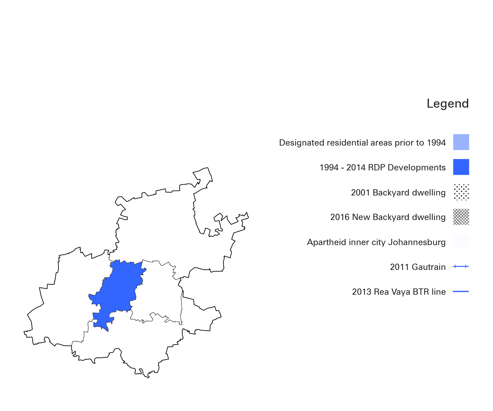
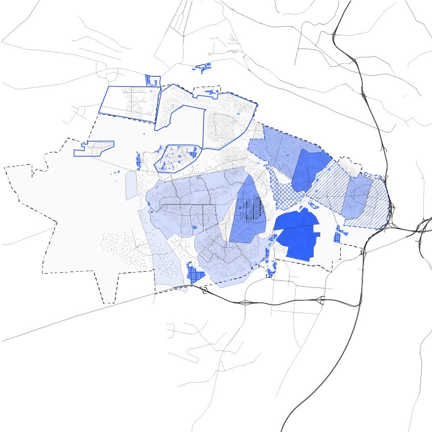
Soweto
This map shows the intricately layered history of Soweto that shaped its urban fabric in a unique way. Soweto started as separate townships with the establishment of Pimville in 1905. Each of this townships stood alone as islands until they were unified in 1963 under the name “Soweto”, an acronym that stands for South Western Townships. Townships in Soweto were built under different governmental agendas, mainly to relocate Africans from inner Johannesburg during the apartheid period. After Pimville, Orlando was built using the “match box houses” layout. During the 1950’s Dube was built as the first middle class township, while Naledi, Mapetla, Tladi, Moletsane, Chiawelo, Dlamini, Zola, Zondi, Jabulani and Emdeni were built for different ethnic groups. In the 1980’s Orlando West and Diekloof extensions were developed to house the growing African middle class. After 1994, under the RDP program, less formal townships like Bram Fischerville were built to house informal and backyard settlers. Lufhereng was developed as the first mix-used and mix tenured development in 2004, while Protea Glen was thought for the aspirational middle class.