


Township’s Evolution
Johannesburg
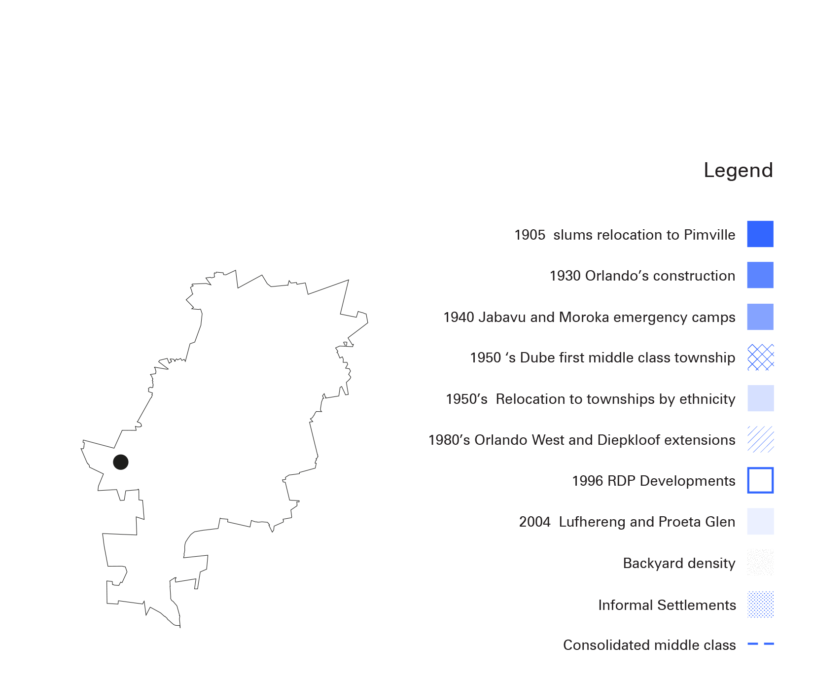
This map shows Johannesburg’s evolution and densification processes of the former designated residential areas established during Apartheid. To date, the city continues to grow under the inherited territories and demographics once established by segregational policies. These territories have evolved through time but their underlying historical policies remain visible in the urban fabric. From designated residential areas for African, Coloured and Indian to RDP - Reconstruction and Development Programme - housing developments and backyarding, these spaces have become overly densified settlements that pose a question of capacity in terms of services, infraestructure and housing.